
HPC and the Topography of the Earth’s Surface
Overview
The University of Minnesota’s Polar Geospatial Center (PGC) and NASA Goddard Space Flight center are constructing Digital Elevation Models (DEMs) of the Earth from DigitalGlobe satellite imagery through the NextView License for scientific research. This project seeks to generate DEMs over wide areas of interest to NASA and National Science Foundation researchers, including the Arctic, Antarctic, and semi-arid regions around the globe.
Project Details
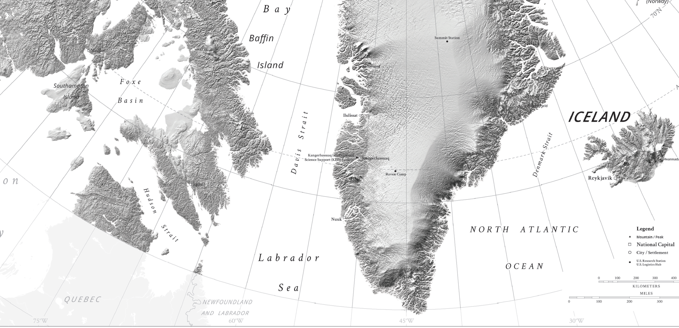
To create the DEMs, scientists are using imagery from multiple satellites (WorldView-1, WorldView-2, WorldView-3, and GeoEye-1) with resolutions down to 2 meters (m) x 2 m per pixel. Overlapping pairs of the high-resolution images are auto-correlated and run through the Surface Extraction from TIN-based Search-space Minimization (SETSM) software package to compute the DEMs.
The project is using hundreds of thousands of high-resolution visible and near-infrared images, resulting in the analysis of many petabytes of data. The DEMs can be computed to differing resolutions. Each increase in resolution raises the amount of compute time required for SETSM to converge, and the size of the resulting DEM grows accordingly.
Results and Impact
The end result will be a DEM baseline for significant portions of the Earth applicable across a wide variety of scientific inquiries. Heights can be used to establish current measurements of ice and glaciers around the world. In addition, scientists can create high-resolution maps of existing vegetation, specifically tree canopy heights across areas where other measurements do not have sufficient resolution to even resolve individual trees. Once a baseline is created, changes in these elevations can be used to study how specific environments are evolving in a changing climate.
For example, ice height changes of the Vavilov Ice Cap in the high Russian Arctic were measured from 2013 through 2016. Rapid changes were easily seen from the satellite imagery, with the ice moving fast enough to create a fan-shaped edge of the glacier and spread across the Kara Sea. Similarly, the DEMs can be used to look at changes in vegetation over time, either due to natural events (such as volcanic eruptions) or anthropomorphic effects (such as clear cutting). Ultimately, these DEMs will provide scientists with a consistent, high-resolution, and constantly updating picture of how the Earth is changing over time.
Why HPC Matters
High-performance computing and storage are critical to generating the DEMs. In addition to collaborating with NASA, PGC has an agreement with the National Center for Supercomputing Applications (NCSA) and The Ohio State University to produce DEMs for the entire Earth using the NCSA Blue Waters supercomputer. At NASA, DEMs for the Arctic boreal regions and high mountain terrains in Asia are being generated using the Discover supercomputer at the NASA Center for Climate Simulation. These DEMs are stored for NASA scientists to use for fundamental research into how climate change is affecting these regions and to also help define the next generation of remote sensing platforms needed to continue to study the Earth.
What's Next
In addition to continuing to support the creation and automation of the DEM processing and storing of data, NASA and PGC are looking to collaborate on algorithms to increase the resolutions of the resulting height measurements. Employing a similar method developed for the Multi-Angle Implementation of Atmospheric Correction (MAIAC), researchers can improve the measurements by removing the effects of certain atmospheric conditions, such as aerosols.
More Information
Paul Morin, University of Minnesotalpaul@umn.edu Compton Tucker, NASA Goddard Space Flight Center
compton.j.tucker@nasa.gov